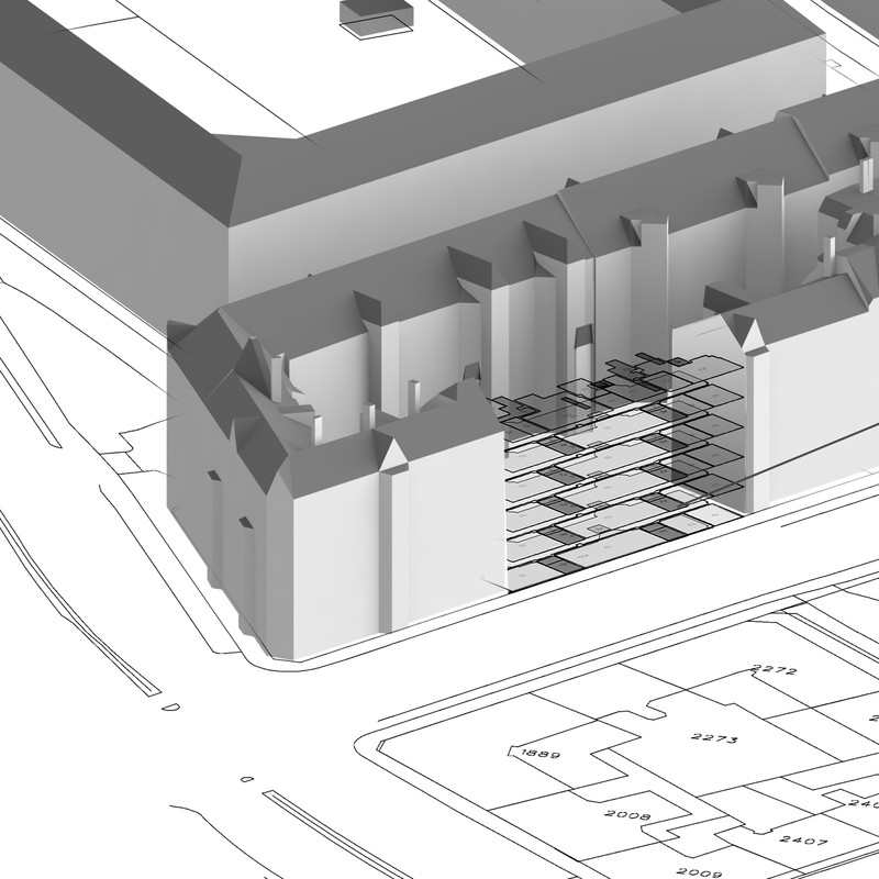
BIM GIS interoperability – Geographic referenced spaces
AG5 has worked in collaboration with Bentley Systems, Hvenegaard and Jens Bo land surveyors, and Addin.dk, analyzing the possibilities of linking Building Information Models from BIM software together with GIS (Geographic Information Systems) systems. The goal of this research project is to develop a workflow that can leverage 3D geometry and building information data within a GIS environment. Research is centered around geographically keyed BIM spaces, and keying the BIM space data together with any other relevant data base in and around real properties, either geographic, or personal. The main idea is to make the BIM model only intelligent enough to link it to other databases, therefore keeping the information data within the BIM model at a manageable level, and allowing operators to work with data in a format that they are used to. The building information model can be then used as a visual portal to open, and obtain access to relevant information about a specific property or region.
One possible target group for this information is the Public safety sector. It can provide the opportunity to quickly access building data through a highly communicative 3D model while at the same time enable access to other relevant public or personal data.
